GIS传道者 · 精选文章
共 1682 篇精选
Your Complete Guide to Esri’s Developer Resources
GIF flashing multiple resources for Esri developer technology. Building, extending, or automating with Esri developer technology? Check out these resources. Whether you’re building
小程序阅读全文

Create more with World Imagery Wayback
The Wayback in ArcGIS Living Atlas is an application that provides discovery, visualization and utility tools that help explore every release of the World Imagery basemap. World Im
小程序阅读全文
What's New in Living Atlas - July 2026
ArcGIS Living Atlas contains trusted ready-to-use geospatial content for your GIS workflows, and as the name implies, it continues to grow and update as a living collection. As we
小程序阅读全文
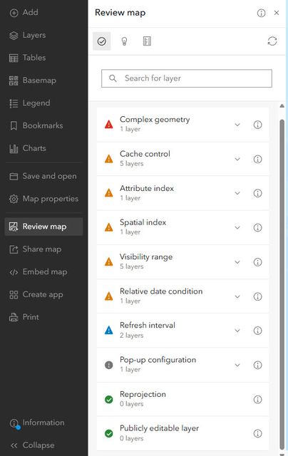
Introducing Review map: Confidently share scalable maps
As ArcGIS Online users, you create some of the world’s most important maps. You share maps that provide evacuation routes, disease hotspots, migration patterns, voting locations, h
小程序阅读全文
泰伯早报 | 8月26日:中国商业航天企业首次面向东南亚整星出口;零跑汽车确认布局机器人业务;总投资38亿元,西部航天超级工厂即将启动招标
【商业航天】 ① 据陕西省公共资源交易中心最新消息显示,2026年8月24日,西部航天科技(陕西)集团有限公司旗下两家核心子公司——西部卫星科技(陕西)有限公司与西部运载技术(陕西)有限公司,分别发布了卫星超级工厂与火箭超级工厂项目的建设施工总承包招标计划。两个项目总投资合计超38亿元,均计划于2026年9月20日同步启动邀请招标。此举标志着西部航天在商业航
小程序阅读全文
印度空间研究组织将火箭制造业务移交民营主体
8月23日,恰逢印度国家航天日,印度空间研究组织(ISRO)公布重大政策调整,今后将不再直接开展商业运载火箭制造业务,把火箭全流程量产与总装工作移交给国内民营主体组成的产业联合体,将自身资源集中投向前沿空间探测研究、技术研发以及深空探测任务。 本次业务移交覆盖PSLV极轨卫星运载火箭、LVM3运载火箭、SSLV小型卫星运载火箭等全部现役型号的生产。由印度斯坦
小程序阅读全文
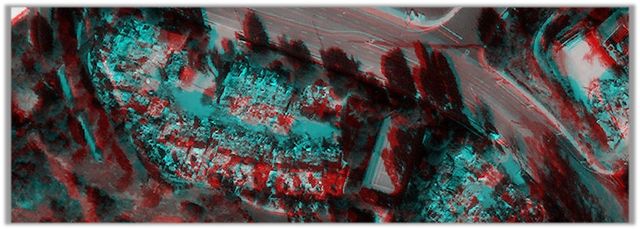
Disaster Imagery Explorer - quick-start guide
When disasters occur, timely and accessible imagery aids responders in accelerating humanitarian response and recovery. Today we are happy to announce that Vantor imagery for disas
小程序阅读全文
SpaceX拟斥资1000亿美元在路易斯安那州建第三处星舰发射基地
SpaceX计划在美国路易斯安那州南部海岸斥资1000亿美元建设新发射基地,进一步扩展其星舰火箭的运营能力。 8月25日,据彭博报道,路易斯安那州州长Jeff Landry与SpaceX高管联合宣布这一计划,授权公司在沿海地区Pecan Island约12.5万英亩土地上建设该设施。 新基地将允许星舰向南越过墨西哥湾发射,并进入地球极轨道——这对SpaceX
小程序阅读全文
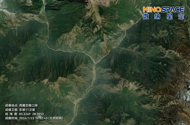
吉隆口岸灾情应急:微纳星空联合环天智慧共享多景卫星影像支援救灾研判
8月26日,因尼泊尔一侧突发泥石流灾害,西藏日喀则市吉隆县吉隆口岸遭受重创,造成重大人员伤亡与失联。 灾害发生后,微纳星空迅速启动应急响应机制,依托与环天智慧联合研制的“东坡”系列卫星星座——东坡11卫星、东坡15卫星、东坡16卫星、东坡17卫星、东坡19卫星,对受灾区域开展应急成像观测。 凭借“光学+SAR(合成孔径雷达)”协同观测的优势,卫星成功穿透高原
小程序阅读全文
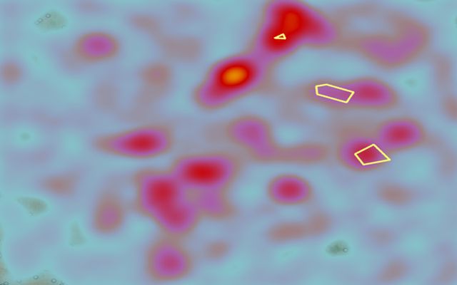
Beyond latitude and longitude: Giving geographic context to coordinates
Isolated geographic coordinates (latitude and longitude) lack descriptive context. Unless you’re familiar with geographic coordinates, raw numbers like these don’t tell you much. I
小程序阅读全文
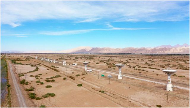
星邑空间完成数亿元A轮融资
近日,星邑空间正式完成A轮增资扩股暨战略投资人引入。 此次A轮股权融资募集资金达数亿元人民币,引入了苏创投、力合清瞳、七匹狼控股、智宸投资、兰溪资本、海锶创投等多家知名投资机构。 作为行业领先的航天器测运控解决方案服务商,星邑空间籍此A轮股权融资落地之机,将加速全球测控站网建设,持续夯实公司在大型星座测控管理、精密轨道确定与控制等关键能力的技术先进性,以“构
小程序阅读全文
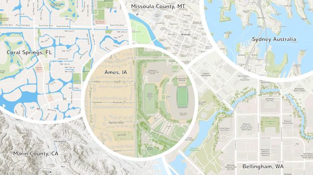
Second Quarter 2026 Basemap Release Includes Over 170 New and Updated Communities
The second quarter Esri Community Maps basemap release reflects the contributions of more than 170 participating organizations from around the world. Together, these organizations
小程序阅读全文